With ANNAWANDERT to the Schesaplana, the highest peak of the Rätikon mountain range

Updated: Jul 11
There are mountains you simply want to stand on at the top of someday. The Schesaplana is definitely one of them. At 2,964 meters, it's the highest peak in the Rätikon range. Anyone who's been up there knows why it's worth the effort.
In July, I had the pleasure of guiding another group up this mountain, which holds such special significance for me. John, Judith, Corinna, and Alexander were with me—four sporty and enthusiastic hikers. Anyone who voluntarily waits for me at 8:15 a.m. with laced hiking boots, a packed backpack, and a smile on their face means business. A good sign.
It started at Lünersee
Even on the ascent with the Lünersee cable car, it was clear: this was going to be a perfect day. While temperatures climbed in the valley below, pleasantly fresh mountain air awaited us at Lünersee. The lake shimmered in an almost kitschy turquoise, beneath a clear blue sky. The conditions for a mountain hike couldn't have been much better.
Ahead of us lay roughly 1,000 meters of elevation gain. And later, 1,000 meters of descent.
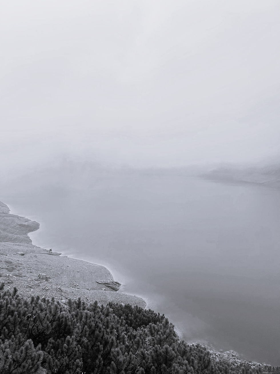
After a gentle start by the lake, the path towards the Totalphut became steeper, the landscape more barren. Meter by meter we gained altitude. The view back towards the Lünersee was impressive every time; each time the lake shimmered in different shades of turquoise, depending on how the sun hit the water. The landscape gradually changed. Mountain pines and flowers, like the pink alpine rose, became less frequent, replaced by more rocks and rugged scree.

Lünersee trail 
Totalphut
Past the Totalphut
After a short break for a drink at the Totalphut, we continued our hike. The summit awaited. Another 600 meters of elevation gain lay ahead. And then, at some point, that wonderful feeling: Now you've truly arrived in the high mountains. Eventually, we came to a snowfield above the trail. We didn't cross it, but instead walked around it. That was also the most challenging part of the entire tour. With every meter of elevation gained, the landscape became more rugged and, at the same time, more spectacular.
A few steps in Switzerland
Crossing the border into Switzerland requires very little. No passport control. Just a small sign. One step. And you're there.
Anna in Switzerland Heart in the Snowfield Summit cross of the Schesaplana
At the top of the Schesaplana
And then, after three hours hiking time, we finally stood at the top. At 2,964 meters above sea level. At the highest point of the Rätikon mountain range.
Together we stood beside the summit cross, shared by Austria and Switzerland. From up here, the Rätikon mountain range revealed its most beautiful side. A 360-degree panoramic view: peaks from Vorarlberg, Switzerland, Tyrol, Liechtenstein, and Germany. Even the Ortler in South Tyrol was visible to the south, and Lake Constance to the north. Below us, the Lünersee shimmered, and on the other side, the last remnants of the Brandner Glacier could be seen. How little ice remains there now. I wonder how much longer it will be around?
Brandner Glacier Anna at the summit cross Summit cross selfie on the Schesaplana
My conclusion?
The Schesaplana is no walk in the park. Surefootedness, good physical condition, and stamina are essential. But you'll be rewarded with a breathtaking view. The high alpine landscape and the panorama from the highest peak in the Rätikon range make this tour a truly special experience every time.

Thanks, John, Corinna, Alex, and Judith, for this fantastic day in the mountains. I'm already looking forward to the next tour. Maybe with you too? For example, in the Rätikon range from Vorarlberg, through Switzerland to Liechtenstein: Three-Country Tour Rätikon
If you would like to hike this tour, click here for the exact tour details.
Comments